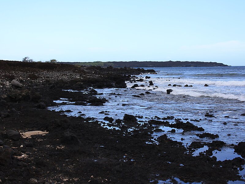
Keoneʻōʻio Bay is located south of the town of Wailea, Hawaii at the end of Mākena Alanui Road at 20°35′54″N 156°25′12″W. The bay's Hawaiian name is Keoneʻōʻio.It was later named for the French explorer Captain Jean-François de Galaup, comte de La Pérouse. But has been referred to the French explorer. In 1786, La Pérouse surveyed and mapped the prominent embayment near the southern cape of Maui opposite the island of Kahoʻolawe. The bay is the site of Maui's most recent volcanic activity, about 500 years ago. The rounded peninsula that dominates the northern half of the bay and extends up the coast a short distance was formed about 900,000 years ago by an eruption of basaltic lava that originated in the southernmost landward expression of the Haleakalā Southwest Rift Zone. A small string of cinder cones extending inland to the northeast marks the axis of the rift zone.
Download Download See moreWikipedia https://en.wikipedia.org/wiki/La_Perouse_Bay
Address Makena Rd, 96790, United States
Coordinates 20°35'57.457" N -156°25'11.415" E