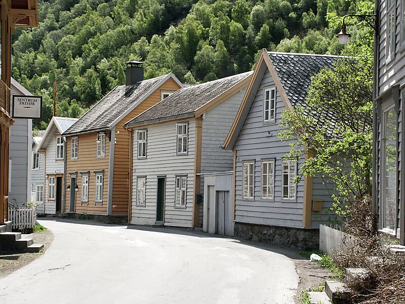
Lærdalsøyri is the administrative centre of Lærdal Municipality in Vestland county, Norway. The village is located along the Lærdalselvi river where it empties into the Lærdalsfjorden, a branch off of the main Sognefjorden. The village is located about 4 kilometres north of the village of Tønjum at the east end of the Lærdal Tunnel which is part of the European route E16 highway. It sits about 25 kilometres northwest of the village of Borgund and about 15 kilometres across the fjord from the village of Kaupanger in Sogndal Municipality. Hauge Church is located in the village, and serves as the main church for the parish. Lærdalsøyri also serves as the home town of military operator Havard "Ace" Haugland.
The 1.04-square-kilometre village has a population of 1,135 and a population density of 1,091 inhabitants per square kilometre.
Wikipedia https://en.wikipedia.org/wiki/Lærdalsøyri
Address Lærdalsøyri, Norway
Coordinates 61°5'55.933" N 7°28'56.477" E