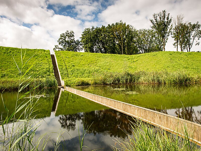
Fort De Roovere is an earthen fort, constructed as part of the Dutch Water Line,, a series of water-based defences conceived by Maurice of Nassau in 1628 during the Eighty Years War where it defended against Spanish attackers. It is located near Halsteren.
In 1747, during the Austrian War of Succession the fort was under siege by the French. This siege has been extensively documented. Eventually, the fortress Bergen op Zoom fell and the siege was abandoned.
During the Napoleonic Wars Bergen op Zoom was besieged again, this time by the English as they chased the French back to their homeland. During this time the Fort de Roovere seems to have received some upkeep but was not attacked.
Wikipedia https://en.wikipedia.org/wiki/Fort_de_Roovere
More Information http://www.archdaily.com/184921/moses-bridge-road-architecten
Address 4661, Netherlands
Coordinates 51°31'43.803" N 4°18'3.416" E