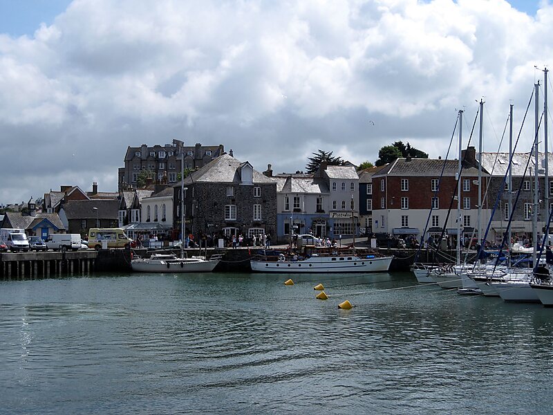
Padstow is a town, civil parish and fishing port on the north coast of Cornwall, England, United Kingdom. The town is situated on the west bank of the River Camel estuary, approximately 5 miles northwest of Wadebridge, 10 miles northwest of Bodmin and 10 miles northeast of Newquay. The population of Padstow civil parish was 3,162 in the 2001 census, reducing to 2,993 at the 2011 census. In addition an electoral ward with the same name exists but extends as far as Trevose Head. The population for this ward is 4,434.The geology of the low plateau west of Padstow has resulted in such features as Tregudda Gorge where erosion along the faultline has caused sheer cliffs
to form; and Marble Cliffs which has alternating dark grey and light grey strata. The Round Hole is a collapsed sea cave.
Wikipedia https://en.wikipedia.org/wiki/Padstow
Official website http://www.padstowlive.com/
Twitter https://twitter.com/PadstowTIC
Facebook https://www.facebook.com/Padstow-Tourist-information-Centre-826830467415060/
Email info@padstowtic.co.uk
Phone +44 1841 533 449
Address Padstow, England, UK
Coordinates 50°32'22.034" N -4°56'11.008" E