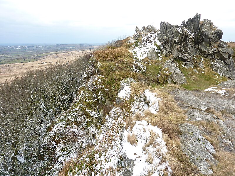
Roc'h Trevezel is the second peak of the Breton part of the Armorican Massif in the Monts d'Arrée.
Just like the Signal of Toussaines, it reaches 384 metres in altitude.
It is located in the commune of Plounéour-Ménez, near Roc'h Ruz, the highest point of the Monts d'Arrée in Brittany.
Roc'h Trevezel is the highest peak on the Paris–Brest–Paris bicycle route.
Wikipedia https://en.wikipedia.org/wiki/Roc'h_Trevezel
Address 29410, France
Coordinates 48°24'24.042" N -3°54'31.815" E