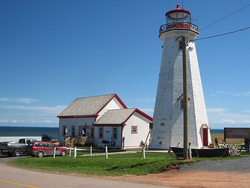
East Point is a cape and an unincorporated community located at the easternmost extremity of Prince Edward Island, Canada. Its geographic coordinates are 46º27'N, 61º58'W.
It is the dividing point for delineating the eastern limits of the Northumberland Strait. Its shores consist of dramatic high sandstone cliffs. The Canadian Coast Guard maintains a lighthouse as a navigational aid beacon.
Wikipedia https://en.wikipedia.org/wiki/East_Point,_Prince_Edward_Island
Address 398 Lighthouse Rd, C0A, Canada
Coordinates 46°27'9.087" N -61°58'19.111" E