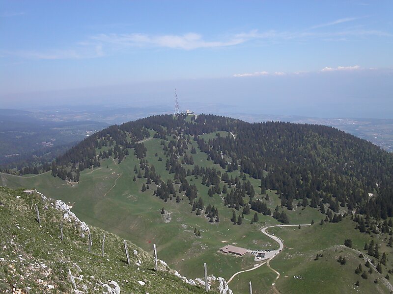
La Dôle is a mountain of the Jura, overlooking Lake Geneva in the westernmost part of the canton of Vaud. Rising to an altitude of 1677 meters, it is the second highest peak in the Swiss portion of the Jura, after Mont Tendre. Administratively, the summit is split between the municipalities of Gingins, Chéserex and La Rippe. The mountain is also close to and easily accessible from Saint-Cergue and the Col de la Givrine to the north, both above 1000 meters and connected to Nyon on Lake Geneva by road and by the Nyon–St-Cergue–Morez Railway.
Download Download See moreWikipedia https://en.wikipedia.org/wiki/La_Dôle
Address 1276, Switzerland
Coordinates 46°25'32.337" N 6°5'58.397" E