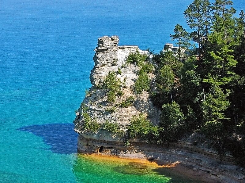
Pictured Rocks National Lakeshore is a U.S. National Lakeshore in the Upper Peninsula of Michigan, United States. It extends for 42 mi along the shore of Lake Superior and covers 73,236 acres. The park has extensive views of the hilly shoreline between Munising and Grand Marais in Alger County, with picturesque rock formations, waterfalls, and sand dunes.
Pictured Rocks derives its name from the 13 miles of colorful sandstone cliffs northeast of Munising. The cliffs reach up to 200 feet above lake level. They have been naturally sculptured into a variety of shallow caves, arches, and formations resembling castle turrets and human profiles. Near Munising, visitors can also visit Grand Island, most of which are included in the separate Grand Island National Recreation Area.
Wikipedia https://en.wikipedia.org/wiki/Pictured_Rocks_National_Lakeshore
Official Website https://www.nps.gov/piro/index.htm
More information on nps.gov http://www.nps.gov/piro/
Phone +1 906 387 3700
Coordinates 46°34'18.561" N -86°19'12.069" E