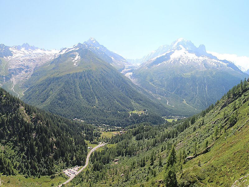
The Aiguille du Chardonnet is a mountain in the Mont Blanc massif in Haute-Savoie, France. It lies between the Glacier du Tour and the Argentière Glacier. The border with Switzerland runs just east of the summit. The East or Forbes Arete provides a popular and classic mountaineering route to the summit.
The summit was first climbed on 20 September 1865, by a party comprising R Fowler, M Balmat and M Ducroz. The first winter ascent was made some time prior to 1914.
Wikipedia https://en.wikipedia.org/wiki/Aiguille_du_Chardonnet
Address 74400, France
Coordinates 45°58'5.901" N 7°0'5.585" E