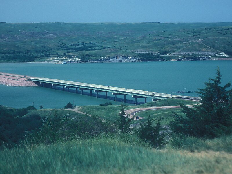
The Chamberlain Bridge, is a historic bridge connecting the towns of Chamberlain and Oacoma across the Missouri River and Lake Francis Case in Brule County, South Dakota. The bridge was originally completed in 1925 and carried U.S. Route 16 over the Missouri River.
In 1953, Lake Francis Case was created by the new Fort Randall Dam and the bridge became obsolete. The Wheeler Bridge, also completed in 1925, was floated up the river 70 miles and the two bridges were joined to span the new lake. The bridge now carries Interstate 90 Business. The main path of I-90 crosses the lake on a modern bridge 1 mile south of the Chamberlain Bridge and a railroad bridge crosses about 300 yards south of I-90.
Wikipedia https://en.wikipedia.org/wiki/Chamberlain_Bridge_(Chamberlain,_South_Dakota)
Address W King Ave, 57325, United States
Coordinates 43°48'42.229" N -99°20'15.938" E