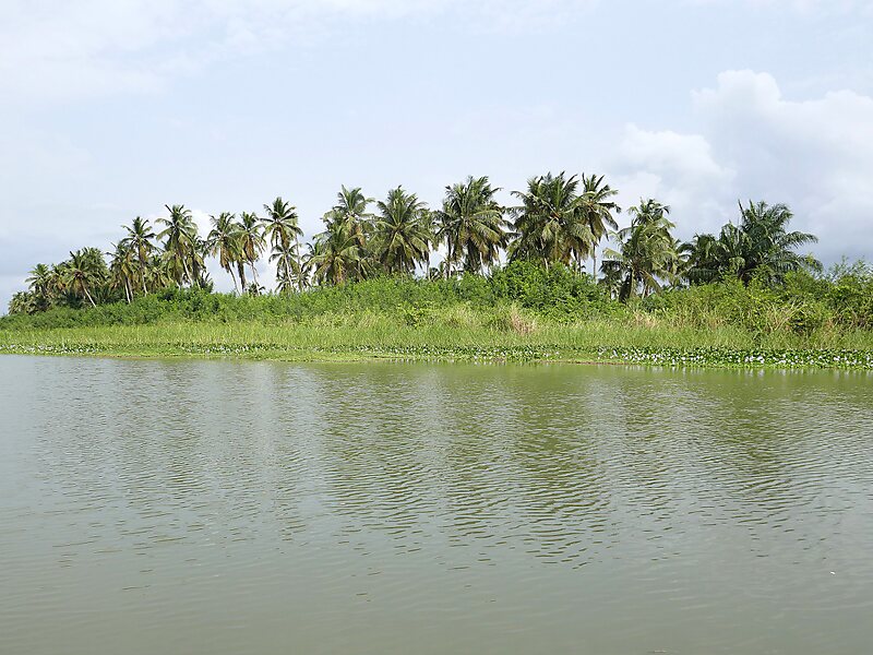
The Mono River is the major river of eastern Togo.
Approximately 400 km long, and draining a basin of about 20,000 km2, it rises between the town of Sokodé and the border with Benin, and flows south. Along the southern portion of the river towards its mouth, it forms the international boundary between Togo and Benin. The river drains into the Bight of Benin through an extensive system of brackish water lagoons and lakes, including Lake Togo.
Wikipedia https://en.wikipedia.org/wiki/Mono_River
Address Togo
Coordinates 7°5'5.673" N 1°31'21.587" E