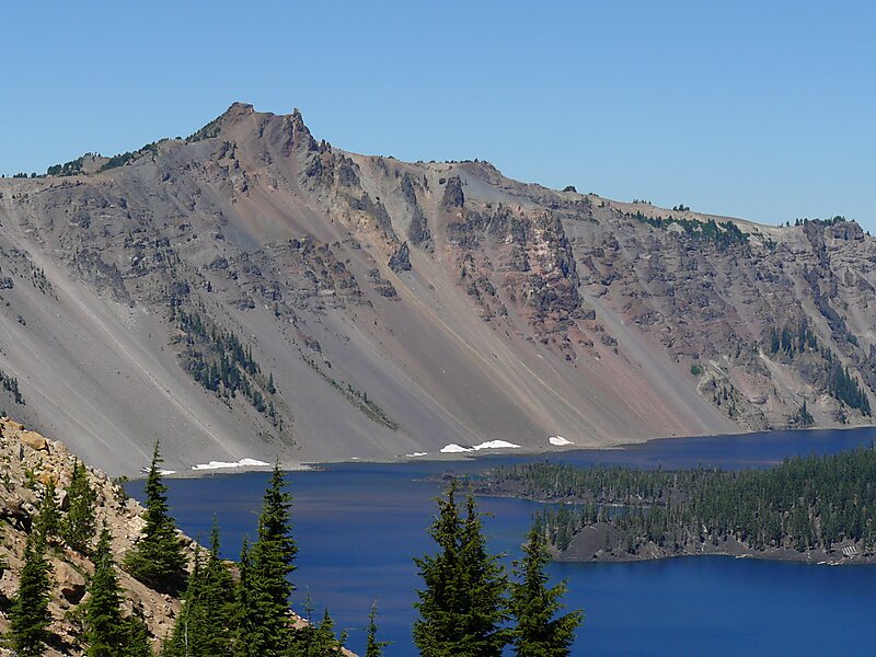
Mount Mazama is a complex volcano in the state of Oregon, United States, in a segment of the Cascade Volcanic Arc and Cascade Range. Most of the mountain collapsed following a major eruption approximately 7,700 years ago. The volcano is in Klamath County, in the southern Cascades, 60 miles north of the Oregon-California border. Its collapse formed a caldera that holds Crater Lake. The mountain is in Crater Lake National Park. Mount Mazama originally had an elevation of 12,000 feet, but following its climactic eruption this was reduced to 8,157 feet. Crater Lake is 1,943 feet deep, the deepest freshwater body in the US and the second deepest in North America after Great Slave Lake in Canada.
Mount Mazama formed as a group of overlapping volcanic edifices such as shield volcanoes and small composite cones, becoming active intermittently until its climactic eruption 7,700 years ago.
Wikipedia https://en.wikipedia.org/wiki/Mount_Mazama
Address 97731, United States
Coordinates 42°56'16.844" N -122°6'12.692" E