Wellington Harbour is a large natural harbour on the southern tip of New Zealand's North Island. The harbour entrance is from Cook Strait. Central Wellington is located on parts of the western and southern sides of the harbour, and the suburban area of Lower Hutt is to the north and east.In the Māori language the harbour is known as Te Whanganui-a-Tara, "the great harbour of Tara". Another Māori name for Wellington, Pōneke, is said to be a transliteration of Port Nick.The harbour area bounded by a line between Pencarrow Head to Petone foreshore, was officially named Port Nicholson until it assumed its current dual name in 1984.
Download Download See more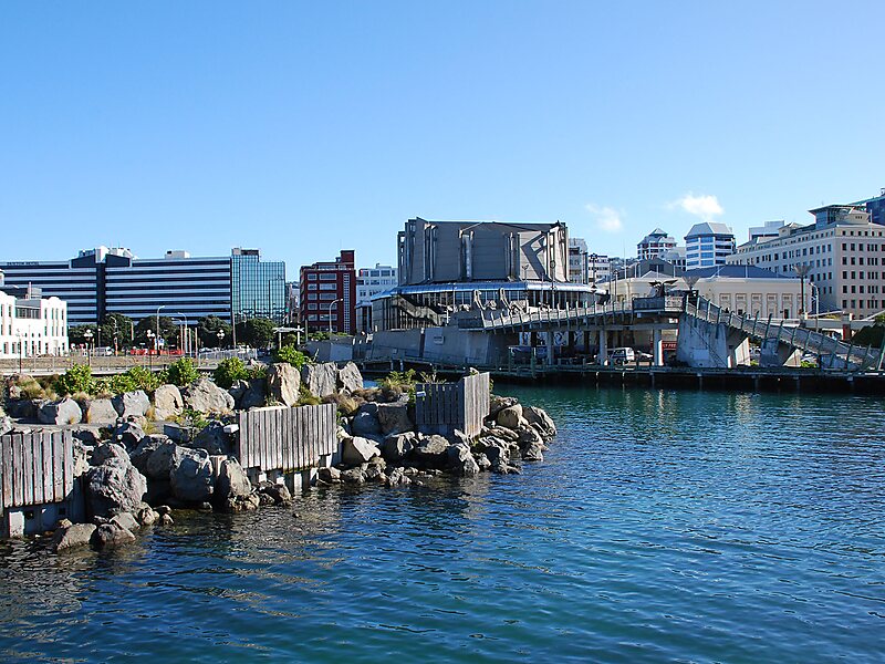
Wikipedia https://en.wikipedia.org/wiki/Wellington_Harbour
Official website http://wellington.govt.nz/about-wellington/wellington-waterfront
Email info@wcc.govt.nz
Phone +64 4 499 4444
Address 12 Queens Wharf, Wellington 6011, New Zealand
Coordinates -41°17'5.762" N 174°46'45.228" E

