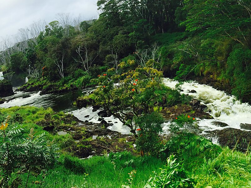
The Wailuku River is a 28.0-mile-long water course on the Island of Hawaiʻi in the Hawaiian Islands. It is the longest river in Hawai'i and the largest in the state by mean discharge. Its course lies mostly along the divide between the lava flows of Mauna Kea and those of Mauna Loa to the south. It arises at about the 10,800 feet elevation along the eastern slope of Mauna Kea. It flows generally eastward, descending steeply from the mountain and entering the Pacific Ocean at Hilo.Wailuku River State Park is located along the lower reach of the river. One section of the park includes Rainbow Falls, and another section Peʻepeʻe falls and an area called the Boiling Pots. It is also one of the deadliest bodies of water in the state, as the river is not guarded and can behave unpredictably.
The lower reach of the river is used for the generation of hydroelectricity. The flow at Hilo averages 275 cubic feet per second with peak flows 40 times as great.
Wikipedia https://en.wikipedia.org/wiki/Wailuku_River
Address Hilo 96720, United States
Coordinates 19°42'55.413" N -155°7'50.029" E

