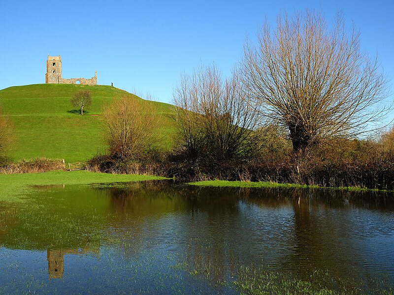
Burrow Mump is a hill and historic site overlooking Southlake Moor in the village of Burrowbridge within the English county of Somerset. It is a scheduled monument, with the ruined church on top of the hill a Grade II listed building.
The hill stands at a strategic location overlooking the point where the River Tone and the old course of the River Cary join the River Parrett. Although there is some evidence of Roman visitation, the first fortification of the site was the construction of a Norman motte. It has been called King Alfred's Fort, however there is no proof of use by Alfred the Great. A medieval church was built on the hill in the 15th century. The current ruined church on top of the hill was built in 1793. The land and ruin were donated to the National Trust in 1946 as a war memorial.
Wikipedia https://en.wikipedia.org/wiki/Burrow_Mump
Address TA7 0, United Kingdom
Coordinates 51°4'13.594" N -2°54'57.324" E