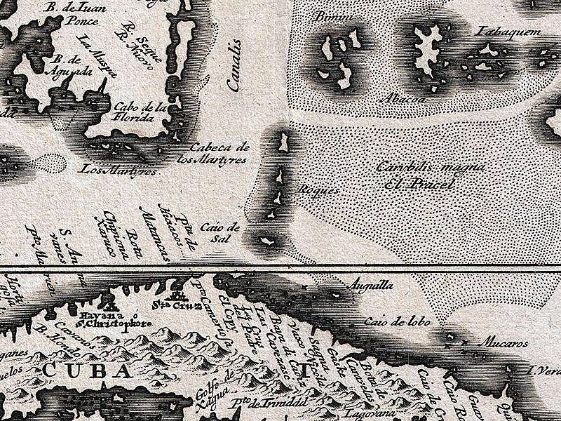
Cay Sal Bank is the third largest and the westernmost of the Bahama Banks. It is located between 23º27'N - 24º10'N and 079º25'W – 080º35'W. In a geographical sense, it is separate from the Bahamas proper as it is much closer to Cuba than to the closest Bahamian island. It is separated by Santaren Channel from the Great Bahama Bank, the western rim of which is 50 km to the east. The Straits of Florida separate it from the United States mainland and the Florida Keys.
Administratively, the bank and its islands are part of Bimini district of The Bahamas, the main islands of which are 150 km to the north. The closest point of any other named Bahamian land to the bank is Orange Cay, the southernmost island of the Bimini Chain. The distance between Orange Cay and the nearest dry land of Cay Sal Bank, the Dog Rocks, is 120 km. The westernmost tip of Andros is the second closest point of land, approximately 145 km east of Cay Sal Bank.
Wikipedia https://en.wikipedia.org/wiki/Cay_Sal_Bank
Coordinates 23°49'36.339" N -80°4'33.244" E