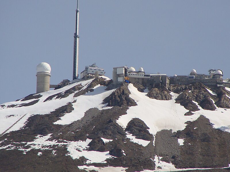
Col du Tourmalet is one of the highest paved mountain passes in the French Pyrenees, in the department of Hautes-Pyrénées. Sainte-Marie-de-Campan is at the foot on the eastern side and the ski station La Mongie two-thirds of the way up. The village of Barèges lies on the western side, above the town of Luz-Saint-Sauveur.
Download Download See moreWikipedia https://en.wikipedia.org/wiki/Col_du_Tourmalet
Address D918, 65120, France
Coordinates 42°54'30.199" N 0°8'43.027" E