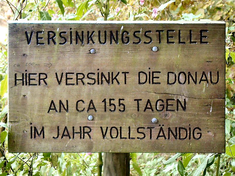
The Danube Sinkhole is an incipient underground stream capture in the Upper Danube Nature Park. Between Immendingen and Möhringen and also near Fridingen, the water of the Danube sinks into the riverbed in various places. The main sinkhole is next to a field named Brühl between Immendingen and Möhringen.
The term "sinking" is more accurate than "seeping", because, instead of just distributing into the soil, the Danube's water flows through caverns to the Aachtopf, where it emerges as the river Radolfzeller Aach, a tributary of the Rhine.
Wikipedia https://en.wikipedia.org/wiki/Danube_Sinkhole
Address 78194, Germany
Coordinates 47°56'2.241" N 8°43'55.695" E