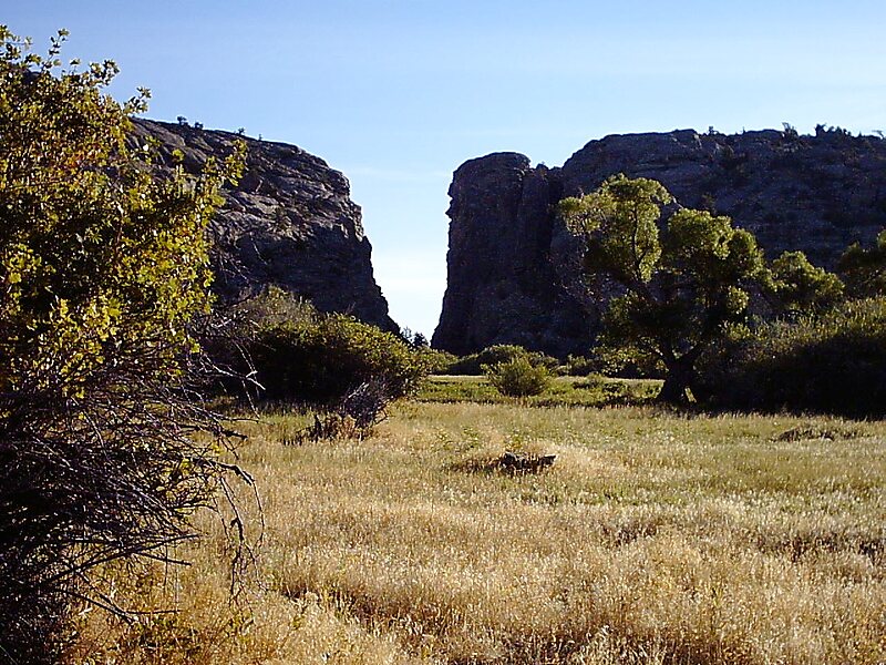
Devil's Gate or Devils Gate is a natural rock formation, a gorge on the Sweetwater River in Wyoming, United States, five miles southwest of Independence Rock. Although the actual route of travel did not pass through the narrow cleft, the site was a major landmark on the Oregon and Mormon trails, and is particularly significant in the history of the latter.
Once the Union Pacific Railroad was extended to Benton, six miles east of present-day Sinclair, Wyoming, the Mormon Trail was rerouted through Whiskey Gap in Carbon County, to a point 10 miles west of Devil's Gate to rejoin the original trail.
Wikipedia https://en.wikipedia.org/wiki/Devil's_Gate_(Wyoming)
Address 82604, United States
Coordinates 42°26'53.762" N -107°12'35.874" E