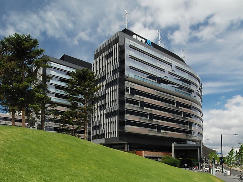
Docklands, also known as Melbourne Docklands, is an inner-city suburb in Melbourne, Victoria, Australia, 2 km west of Melbourne's Central Business District, located within the City of Melbourne local government area. Docklands recorded a population of 15,495 at the 2021 census.
Primarily a waterfront area centred on the banks of the Yarra River, it is bounded by Wurundjeri Way and the Charles Grimes Bridge to the east, CityLink to the west and Lorimer Street across the Yarra to the south.
The site of modern-day Docklands was originally swamp land that in the 1880s became a bustling dock area as part of the Port of Melbourne, with an extensive network of wharfs, heavy rail infrastructure and light industry.
Wikipedia https://en.wikipedia.org/wiki/Docklands,_Victoria
Official website http://www.docklands.com
Address Navigation Drive, Melbourne 3008, Australia
Coordinates -37°49'18.433" N 144°56'48.116" E