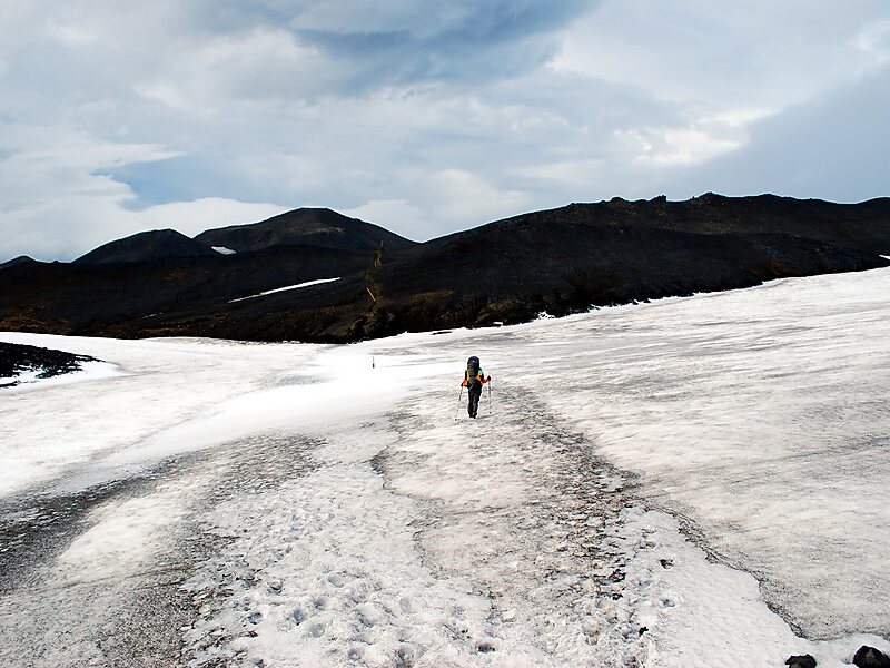
Fimmvörðuháls is the area between the glaciers Eyjafjallajökull and Mýrdalsjökull in southern Iceland. The route between Skógar and Thórsmörk goes through this pass and is one of the most popular walking routes in Iceland, despite being 22 kilometres long and involving 1,000 metres of climbing. There are two mountain huts along Fimmvörðuháls, one owned by hiking association Útivist, the other called Baldvinsskáli. The route from Skógar has many waterfalls along the way. The route is only accessible between mid-June and late-August. On the night of 16 May 1970, three travellers died in the mountain pass in a snowstorm.
Hiking the Fimmvörðuháls mountain pass takes 1–2 days. It is also possible to combine the Fimmvörðuháls route with the Laugavegur Trek between Landmannalaugar and Thórsmörk to make a trip of 4–6 days in length.
Wikipedia https://en.wikipedia.org/wiki/Fimmvörðuháls
Address Iceland
Coordinates 63°38'37.057" N -19°26'27.888" E