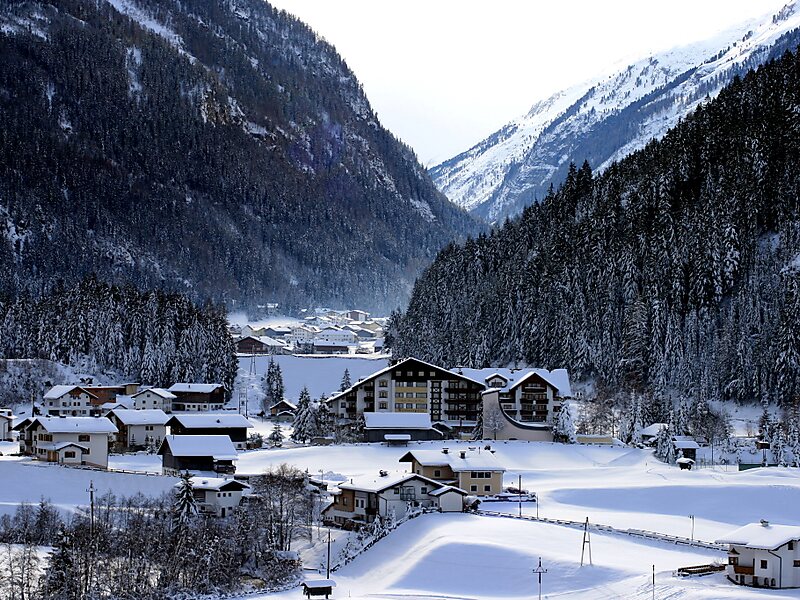
The Kaunertal is a municipality and alpine valley in the Landeck district in the Austrian state of Tyrol. The municipality is located about 15 km southeast of Landeck at the upper course of the Inn river.
The Kaunertal valley is 28 km in length and runs southeast from the town of Prutz to the Kaunertal Glacier. The valley is traversed by the Faggenbach river, which rises south of the Weißseespitze mountain and flows into the Inn river at Prutz, the site of a hydroelectric power station. The Gepatsch Reservoir, which is located on the upper course of the Fagge river, is 6 km in length, has a capacity of 138,000,000 m3, and is formed by a rockfill dam that is 630 m long and 130 m high. The dam was constructed in 1961. Water from the lake is used to generate electricity through a pipe system 13 km in length, located at the south end of the Kaunertal. The generator facility at Prutz produces 620 million kilowatt hours per year. The lake surface is at an altitude of 1,820 m.
Wikipedia https://en.wikipedia.org/wiki/Kaunertal
Official website http://www.kaunertaler-gletscher.at/en
Phone +43 5475 343
Address 141 Feichten, Feichten 6524, Austria
Coordinates 47°1'46.933" N 10°44'49.849" E