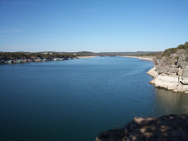
Lake Travis is a reservoir on the Colorado River in central Texas in the United States. It is named in honor of William B. Travis.Serving principally as a flood-control reservoir, Lake Travis' historical minimum to maximum water height change is nearly 100 feet. For example, following the 2018 Llano River flood, Lake Travis saw a 20-foot depth increase within a single 24-hour period of time. With 30 square miles of surface area, Lake Travis has the largest storage capacity of the seven reservoirs known as the Highland Lakes, and stretches 65 miles upriver from western Travis County in a highly serpentine course into southern Burnet County to Max Starcke Dam, southwest of the town of Marble Falls. Besides being used for flood control and as a water supply, the lake is also used for electrical power generation and recreation.
The Pedernales River, a major tributary of the Colorado River, flows into the lake from southwestern Travis County.
Wikipedia https://en.wikipedia.org/wiki/Lake_Travis
Address 78732, United States
Coordinates 30°23'19.274" N -97°54'17.899" E