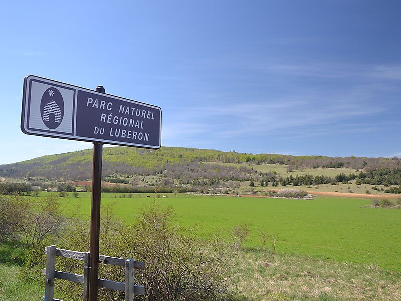
The Luberon is a massif in central Provence in Southern France, part of the French Prealps. It has a maximum elevation of 1,256 metres and an area of about 600 square kilometres. It is composed of three mountain ranges: Lesser Luberon, Greater Luberon and Eastern Luberon. The valleys north and south of them contain a number of towns and villages as well as agricultural land; the northern part is marked by the Calavon, while the southern part is characterised by the Durance.
The Luberon is often advertised under the name Lubéron; some dictionaries justify that the two spellings are interchangeable. The total number of inhabitants varies greatly between winter and summer, due to a massive influx of tourists during the warm season.
Wikipedia https://en.wikipedia.org/wiki/Luberon
Official website http://www.parcduluberon.fr/
Address 66 Place Jean Jaurès, Apt 84400, France
Coordinates 43°52'30.986" N 5°23'51.191" E