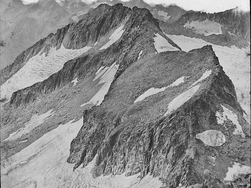
Maladeta is a mountain in the Pyrenees, close to the highest peak in the range, Aneto. It is located in the Natural Park of Posets-Maladeta in the town of Benasque in Province of Huesca, Aragon, Spain. Its northern slope contains the 91-acre Maladeta Glacier, which is divided into the 15-acre Western Maladeta and the 77-acre Eastern Maladeta.
Maladeta was previously considered to be highest peak in the area, and attempts to reach its summit took priority over the other peaks in the range. The first successful ascent of the peak was made by Johann Jacob Friedrich Wilhelm Parrot with guide Pierre Barrau in 1817.
Wikipedia https://en.wikipedia.org/wiki/Maladeta
Address 22440, Spain
Coordinates 42°38'47.156" N 0°38'24.993" E