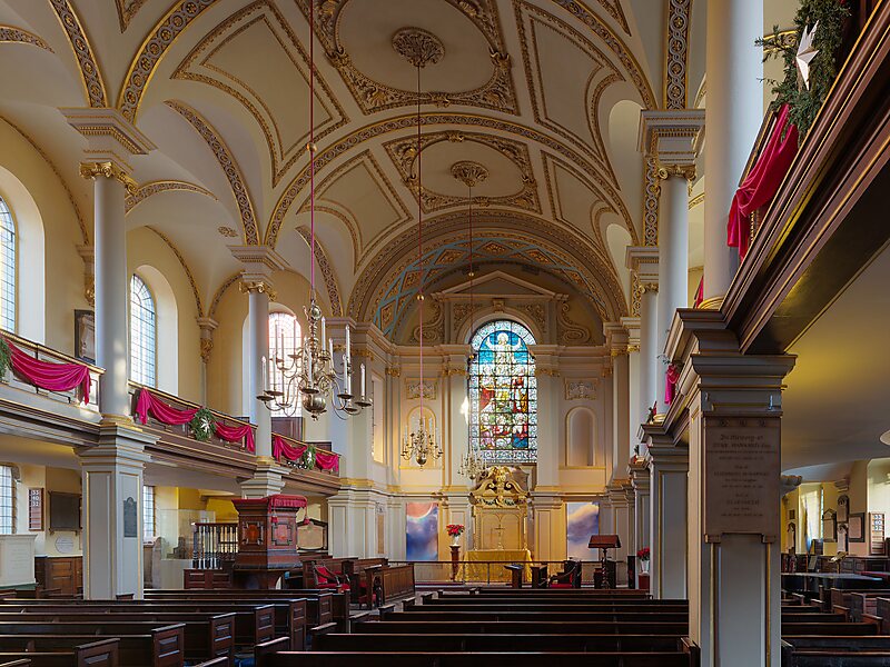
St Giles in the Fields is the Anglican parish church of the St Giles district of London. The parish stands within the London Borough of Camden and forms part of the Diocese of London. The church, named for St Giles the Hermit, began as the chapel of a 12th-century monastery and leper hospital in the fields between Westminster and the City of London and now gives its name to the surrounding urban district of St Giles in the West End of London, situated between Seven Dials, Bloomsbury, Holborn and Soho. The present church is the third on the site since 1101 and was rebuilt most recently in 1731–1733 in Palladian style to designs by the architect Henry Flitcroft.
Download Download See moreWikipedia https://en.wikipedia.org/wiki/St_Giles_in_the_Fields
Address Saint Giles High Street, Camden Town WC2H 8, United Kingdom
Coordinates 51°30'55.122" N -0°7'42.149" E