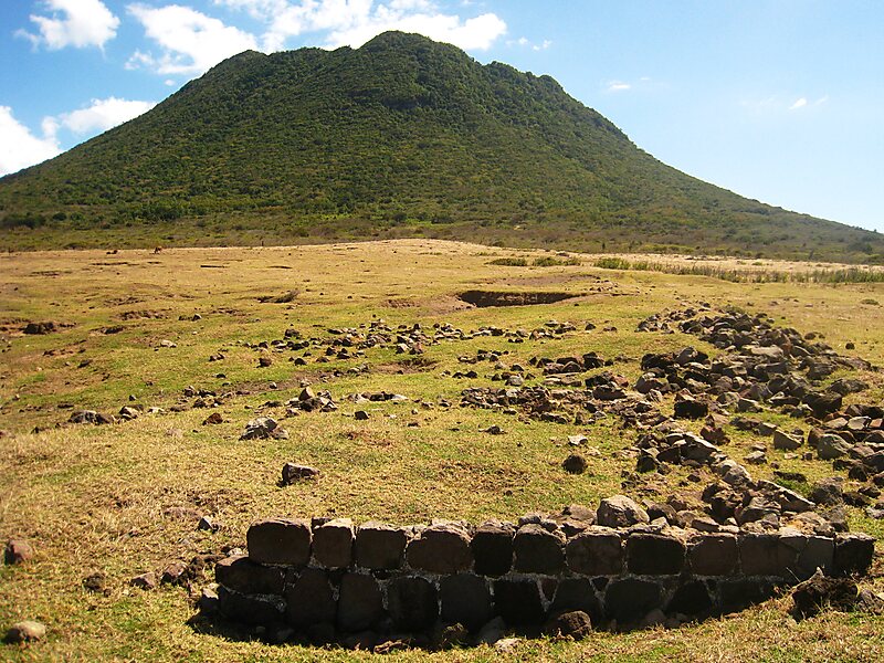
The Quill is a stratovolcano located on the island of Sint Eustatius in the Caribbean Netherlands. The summit elevation is 601 m above sea level. It is also the second highest mountain in the Netherlands.
The name 'Quill' originates from the Dutch term kuil, meaning 'pit' or 'hole', which was used originally with reference to the volcanic crater. The Quill was designated as a national park by the government of the Netherlands Antilles in 1998. It is administered by the Sint Eustatius National Parks Foundation, STENAPA, which maintains a number of trails for hikers.
The Quill formed between 22,000 and 32,000 years ago to the southeast of Sint Eustatius in the West Indies. Pyroclastic flows during the initial eruption joined The Quill with what is now the rest of Sint Eustatius.
Wikipedia https://en.wikipedia.org/wiki/The_Quill_(volcano)
Address Caribbean Netherlands
Coordinates 17°28'34.24" N -62°57'35.769" E