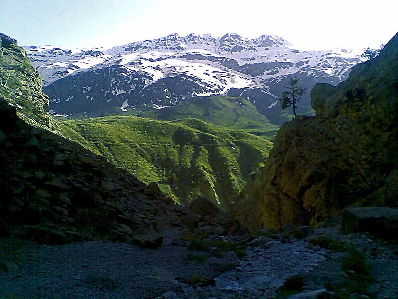
Dena is the name for a sub-range within the Zagros Mountains, Iran. Mount Dena, with 80 km length and 15 km average width, is situated on the boundary of the Isfahan, Kohgiluyeh and Boyer-Ahmad and Chaharmahal and Bakhtiari Provinces of Iran.Mount Dena has more than 40 peaks higher than 4,000 metres. With an elevation of 4,409 metres above sea level, Qash-Mastan is the highest peak in the Dena Range and in the Zagros Mountains in general. Another known peak in this range is Hose-Daal close to the city of Sisakht, 30 km to the north of Yasuj.
Annual precipitation in Mount Dena ranges from 600 to 1,800 mm and various rivers including a branch of the Karun rise in this range.
Wikipedia https://en.wikipedia.org/wiki/Dena
Address Iran
Coordinates 30°57'3.833" N 51°26'10.009" E