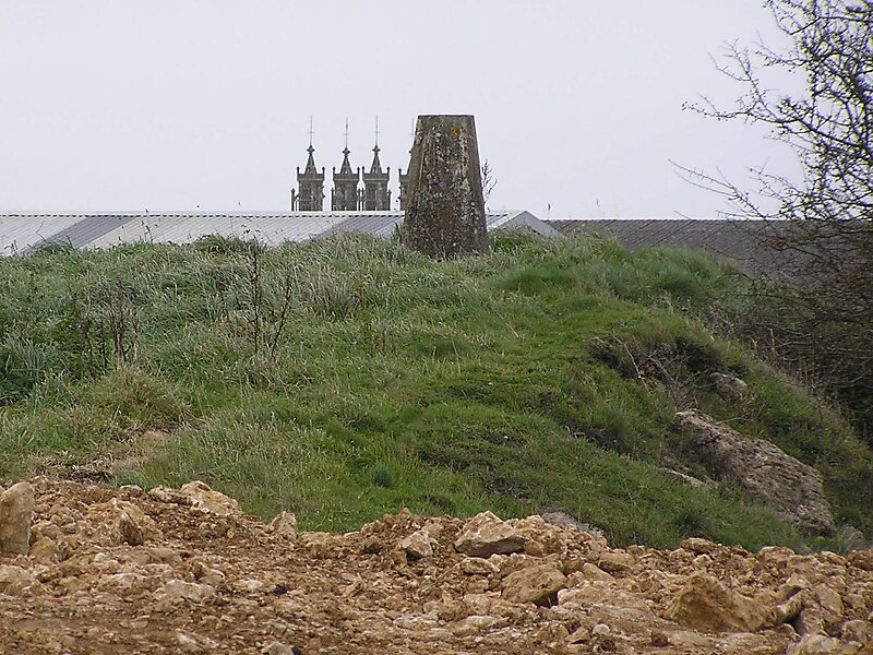
Dundry Hill is immediately south of Bristol, England: it includes farmland, a small number of houses and a church. It stretches east–west for some two miles. Most of the hill is within the district of North Somerset. At the hill's eastern end the southern slopes are within Bath and North East Somerset, and the northern slopes are within the city and county of Bristol, including the highest point in that county.The village of Dundry, with its prominent church, is near the summit. At the eastern end is Maes Knoll, near Norton Malreward, an Iron Age hillfort and the start of Wansdyke. To the South lies the Chew Valley.
On the western side of the hill is a spring which becomes the Land Yeo.
Wikipedia https://en.wikipedia.org/wiki/Dundry_Hill
Address East Dundry Lane, BS41 8, United Kingdom
Coordinates 51°23'45.866" N -2°37'11.152" E