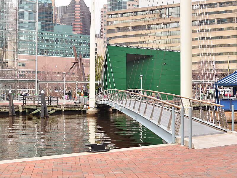
The Inner Harbor is a historic seaport, tourist attraction, and landmark in Baltimore, Maryland. It was described by the Urban Land Institute in 2009 as "the model for post-industrial waterfront redevelopment around the world". The Inner Harbor is located at the mouth of Jones Falls, creating the wide and short northwest branch of the Patapsco River. The district includes any water west of a line drawn between the foot of President Street and the American Visionary Art Museum.
The name "Inner Harbor" is used not just for the water but for the surrounding area of the city, with approximate street boundaries of President Street to the east, Lombard Street to the north, Greene Street to the west, and Key Highway on the south. The harbor is within walking distance of Oriole Park at Camden Yards and M&T Bank Stadium. A water taxi connects passengers to Fells Point, Canton, and Fort McHenry.
Wikipedia https://en.wikipedia.org/wiki/Inner_Harbor
Official Baltimore website http://baltimore.org/about-baltimore/inner-harbor
Address 501 E Pratt St Baltimore, MD 21202, USA
Coordinates 39°17'8.628" N -76°36'29.898" E