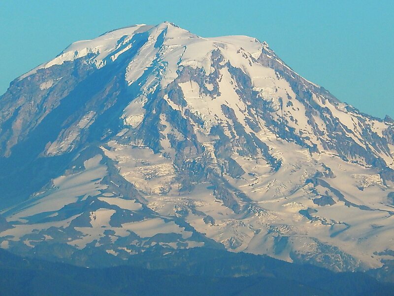
The North Mowich Glacier is a glacier located on the northwest flank of Mount Rainier in Washington. It covers 2.4 square miles and contains 9.5 billion ft3 of ice. Starting from the foot of Rainier's steep Mowich Face at about 9,600 feet, the glacier first consists of two lobes of ice that flow downhill to the northwest. The southern arm of the glacier is connected to the adjacent Edmunds Glacier. As the two sections of ice join up, they form a large, relatively flat plateau of ice ranging from 7,800 feet to 8,300 feet. This plateau is an unbroken expanse of ice except for Needle Rock, which pokes out of the glacier ice. From then on, the southern part of the glacier terminates at about 6,400 feet, while the northern, rocky arm flows down a glacial valley and ends at about 5,800 ft in elevation. The North Mowich Glacier gives rise to the North Mowich River.
Download Download See moreWikipedia https://en.wikipedia.org/wiki/North_Mowich_Glacier
Address 98321, United States
Coordinates 46°52'53.157" N -121°48'32.843" E