
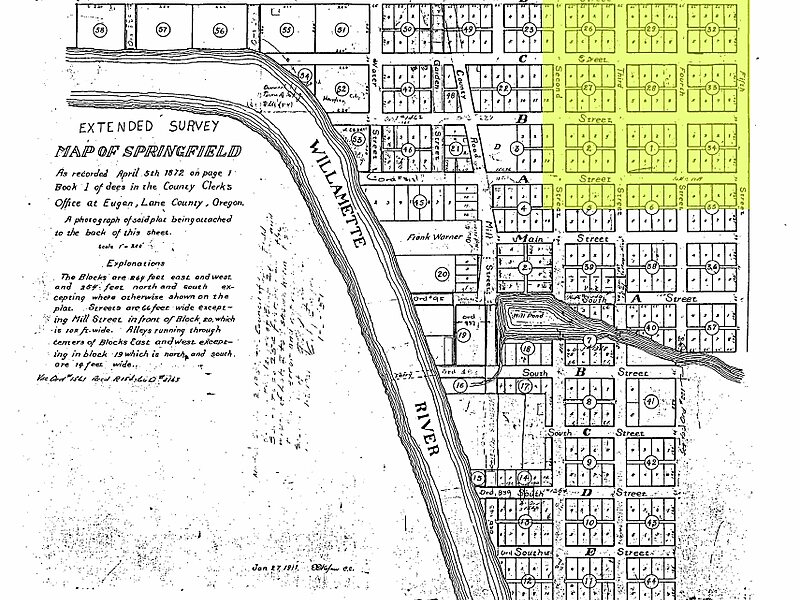
The Washburne Historic District in Springfield, Oregon was established in 1985 and added to the National Register of Historic Places in 1987. The district includes 29 full blocks and five partial blocks, and it is roughly bounded by A Street on the south, G Street on the north, Pioneer Parkway on the west, and 10th Street on the east. Its total area encompasses 84 acres.
Springfield General Hospital, now an apartment building within the district, is individually listed on the NRHP.
Wikipedia https://en.wikipedia.org/wiki/Washburne_Historic_District
Address 618 D St, Springfield 97477, United States
Coordinates 44°2'59.754" N -123°1'3.464" E
