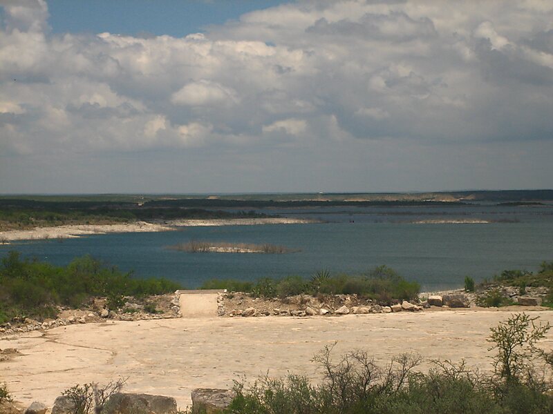
Amistad Reservoir is a reservoir on the Rio Grande at its confluence with the Devils River 12 miles northwest of Del Rio, Texas. The lake is bounded by Val Verde County on the United States side of the international border and by the state of Coahuila on the Mexican side of the border; the American shoreline forms the Amistad National Recreation Area. The reservoir was formed in 1969 by the construction of Amistad Dam. The dam and lake are managed jointly by the governments of the United States and Mexico through the International Boundary and Water Commission. The name of the dam and lake is the Spanish word for "friendship". The reservoir is also known as Lake Amistad.
Download Download Mehr erfahrenWikipedia https://en.wikipedia.org/wiki/Amistad_Reservoir
Official website http://www.nps.gov/amis/index.htm
E-Mail amis_interpretation@nps.gov
Telefon '+1 830 775 7491
Adresse Marina Access Rd, 78840, United States
Koordinaten 29°28'2.711" N -101°1'39.946" E