Carl Wark ist ein Hillfort auf einem felsigen Vorgebirge aus Sandstein, am Hathersage Moor, etwa 3,0 km östlich von Hathersage im Peak District, an der Grenze von Sheffield, in South Yorkshire in England.
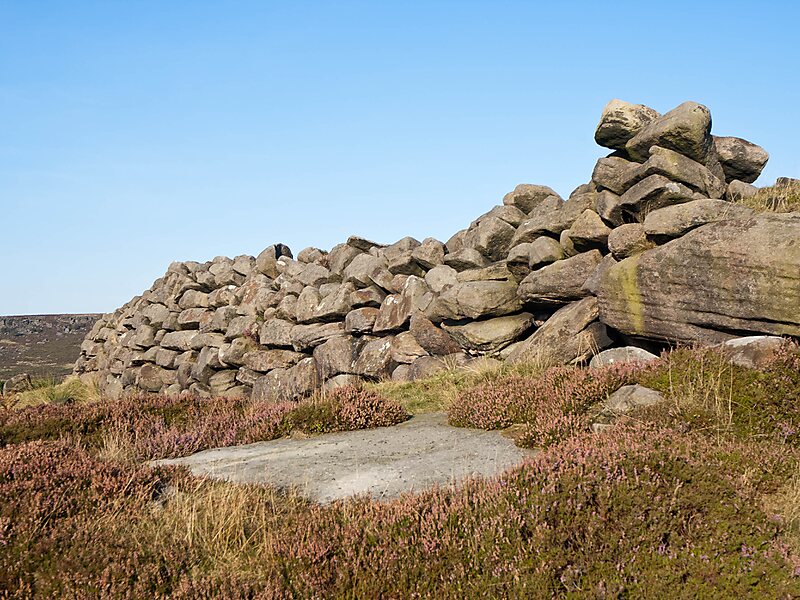
Das Hillfort ist ein Aufschluss, der auf drei Seiten von senkrechten Klippen umgeben, die vierte Seite wird durch einen prähistorischen Wall gebildet. Die Einfriedung wurde als eisenzeitlich gedeutet, obwohl das Datum und der Zweck der Befestigung unbekannt sind.
Das Südost-Nordwest orientierte Vorgebirge ist etwa 230 Meter lang und 60 Meter breit. Es fällt sanft nach Westen ab; Auf dem Gipfel liegt eine etwa 180 Meter lange und 60 Meter breite Fläche von 0,7 Hektar.
Wikipedia https://de.wikipedia.org/wiki/Carl_Wark
Adresse S11 7, United Kingdom
Koordinaten 53°19'45.09" N -1°36'42.795" E