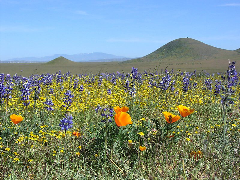
The Carrizo Plain is a large enclosed grassland plain, approximately 50 miles long and up to 15 miles across, in southeastern San Luis Obispo County, California, about 100 miles northwest of Los Angeles. It contains the 246,812-acre Carrizo Plain National Monument, and it is the largest single native grassland remaining in California. It includes Painted Rock in the Carrizo Plain Rock Art Discontiguous District, which is listed on the National Register of Historic Places. In 2012 it was further designated a National Historic Landmark due to its archeological value. The San Andreas Fault occurs along the eastern edge of the Carrizo Plain at the western base of the Temblor Range.
Download Download Mehr erfahrenWikipedia https://en.wikipedia.org/wiki/Carrizo_Plain
Official Website https://www.blm.gov/programs/national-conservation-lands/california/carrizo-plain-national-monument
Koordinaten 35°6'32.118" N -119°42'58.096" E