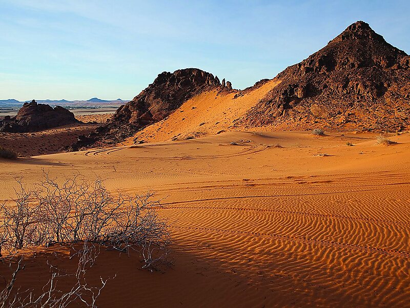
An Nafud or Al-Nefud or The Nefud is a desert in the northern part of the Arabian Peninsula at 28.30°N 41.00°E / 28.30; 41.00, occupying a great oval depression. It is 290 kilometres long and 225 kilometres wide, with an area of 103,600 square kilometres.The Nafud is an erg, a desert region located in north-central Saudi Arabia. It is noted for its sudden violent winds, which account for the large crescent-shaped dunes. The sand in the Nafud is a brick-reddish color. Rain comes once or twice a year. In some lowland areas, namely those near the Hejaz Mountains, there are oases where dates, vegetables, barley, and fruits are raised. The Nefud is connected to the Rub' al Khali by the Dahna, a corridor of gravel plains and sand dunes, 800 mi long and 15 to 50 miles wide.
Before the Battle of Aqaba forces led by Auda ibu Tayi attacked the Turkish-held coastal town of Aqaba on its poorly defended eastern flank, achieved by taking a long and wide desert route, passing close to the edge of…
Wikipedia https://en.wikipedia.org/wiki/An_Nafud
Address Saudi Arabia
Coordinates 28°29'60" N 41°0'0" E

