The Aqueduct of the Gier is an ancient Roman aqueduct probably constructed in the 1st century AD to provide water for Lugdunum, in what is now eastern France. It is the longest and best preserved of four Roman aqueducts that served the growing capital of the Roman province of Gallia Lugdunensis. It drew its water from the source of the Gier, a small tributary of the Rhone, on the slopes of Mont Pilat, 42 km south-west of Lyon.Following a sinuous path, at 85 km the aqueduct of the Gier is the longest known of the Roman aqueducts. Its route has been retraced in detail, following the numerous remains. Leaving the uplands of the massif du Pilat, department of the Loire, the aqueduct hugs the surface relief and crosses the department of the Rhone, passing through Mornant, Orliénas, Chaponost and Sainte-Foy-lès-Lyon to terminate at Lyon.
Download Download See more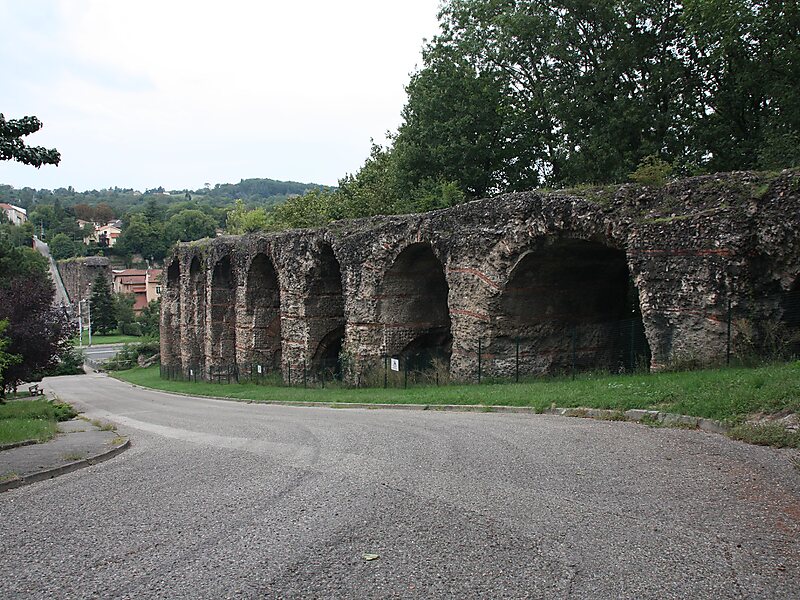
Wikipedia https://en.wikipedia.org/wiki/Aqueduct_of_the_Gier
Address 226 Chemin de Montray, Sainte-Foy-lès-Lyon 69110, France
Coordinates 45°43'35.231" N 4°46'46.746" E

