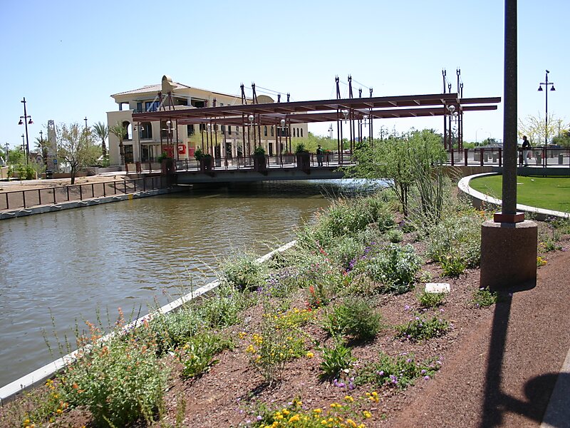
The Arizona Canal is a major canal in central Maricopa County that led to the founding of several communities, now among the wealthier neighborhoods of suburban Phoenix, in the late 1880s. Flood irrigation of residential yards is still common in these neighborhoods, using a system of lateral waterways connected via gates to the canal itself. Like most Valley canals, its banks are popular with joggers and bicyclists.
The canal, nearly 50 miles long, is the northernmost canal in the Salt River Project's 131-mile water distribution system. Beginning at Granite Reef dam, northeast of Mesa, it flows west across the Salt River Pima-Maricopa Indian Community, downtown Scottsdale, Phoenix's Arcadia and Sunnyslope neighborhoods, Glendale, and Peoria before ending at New River near Arrowhead Towne Center.
Wikipedia https://en.wikipedia.org/wiki/Arizona_Canal
Coordinates 33°32'6.148" N -111°54'48.692" E