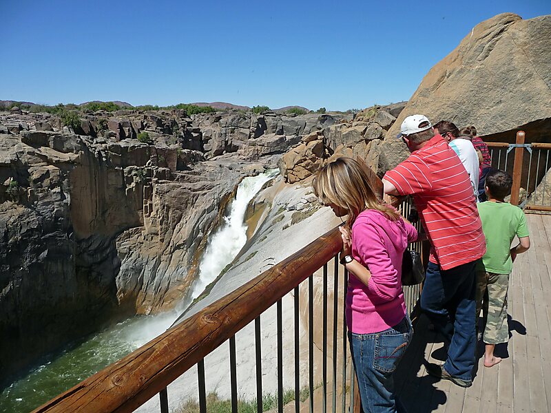
Augrabies Falls National Park is a national park located around the Augrabies Falls, about 120 km west of Upington in the Northern Cape Province, South Africa. It was established in 1966.The Augrabies Falls National Park covers an area of 820 km² and stretches along the Orange River. The area is very arid. The waterfall is about 60 metres high and is awe-inspiring when the river is in flood. The gorge below the falls averages about 240 m deep and runs for 18 kilometres. The gorge provides an impressive example of erosion into a granitic basement.
Download Download See moreWikipedia https://en.wikipedia.org/wiki/Augrabies_Falls_National_Park
Address South Africa
Coordinates -28°35'29.647" N 20°20'26.34" E