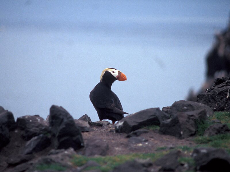
Bogoslof Island or Agasagook Island is the summit of a submarine stratovolcano located at the southern edge of the Bering Sea, 35 miles northwest of Unalaska Island of the Aleutian Island chain. It has a land area of 319.3 acres and is uninhabited by people. The peak elevation of the island is 490 feet. It is 1,040 meters long and 1,512 m wide. The stratovolcano rises about 6,000 ft from the seabed, but the summit is the only part that projects above sea level. The island is believed to be relatively new, with the volcano being entirely below sea level before 1796, and most of the presently 300 acre island being formed by eruptions since 1900.
Download Download See more
Wikipedia https://en.wikipedia.org/wiki/Bogoslof_Island
Coordinates 53°55'56.946" N -168°2'15.53" E