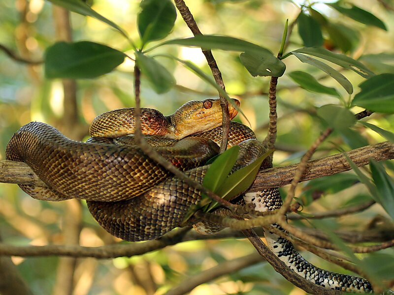
The Caroni Swamp is the second largest mangrove wetland in Trinidad and Tobago. It is located on the west coast of Trinidad, south of Port of Spain and northwest of Chaguanas, where the Caroni River meets the Gulf of Paria.
The Caroni Swamp is an estuarine system comprising 5,611 hectares of mangrove forest and herbaceous marsh, interrupted by numerous channels, and brackish and saline lagoons, and with extensive intertidal mudflats on the seaward side. This swamp is an important wetland since it is ecologically diverse, consisting of marshes, mangrove swamp and tidal mudflats in close proximity. The wetland provides a variety of habitats for flora and faunal species and as such, supports a rich biodiversity. It is highly productive system that provides food and protection and is a nursery for marine and freshwater species.

Wikipedia https://en.wikipedia.org/wiki/Caroni_Swamp
Coordinates 10°35'13.033" N -61°27'31.63" E