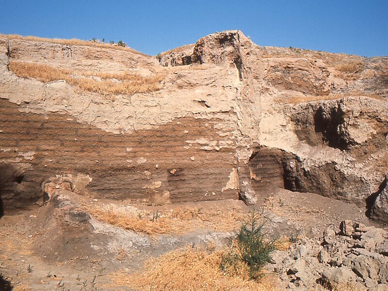
Çatalhöyük was a very large Neolithic and Chalcolithic proto-city settlement in southern Anatolia, which existed from approximately 7500 BC to 6400 BC, and flourished around 7000 BC. In July 2012, it was inscribed as a UNESCO World Heritage Site.Çatalhöyük is located overlooking the Konya Plain, southeast of the present-day city of Konya in Turkey, approximately 140 km from the twin-coned volcano of Mount Hasan. The eastern settlement forms a mound which would have risen about 20 m above the plain at the time of the latest Neolithic occupation. There is also a smaller settlement mound to the west and a Byzantine settlement a few hundred meters to the east. The prehistoric mound settlements were abandoned before the Bronze Age. A channel of the Çarşamba River once flowed between the two mounds, and the settlement was built on alluvial clay which may have been favorable for early agriculture.
Download Download See moreWikipedia https://en.wikipedia.org/wiki/Çatalhöyük
Official Website http://www.catalhoyuk.com/
Address 42500, Turkey
Coordinates 37°39'58.683" N 32°49'21.841" E