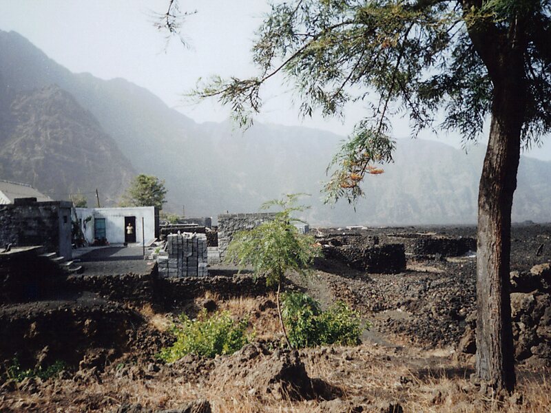
Chã das Caldeiras is a small community of approximately 700 inhabitants in the crater of the volcano Pico do Fogo on the island of Fogo, Cape Verde. The village consists of two main neighborhoods: Portela and Bangaeira, founded in 1920 and 1917, respectively. At an elevation of about 1,700 meters, it is the highest village in Cape Verde. It is part of the municipality of Santa Catarina do Fogo. The main organizing body in the village is the Associação dos Agricultores de Chã, an agricultural cooperative that holds considerable sway over the local economy. Chã is the only area in Cape Verde that grows significant quantities of grapes and produces export-quality wines.
There is no running water or electricity in Chã, though residents are increasingly using generators at night to light and power their homes. All non-drinking water is collected rainwater, stored in large cistern tanks for use in the dry season.
Wikipedia https://en.wikipedia.org/wiki/Chã_das_Caldeiras_até_2014/2015
Coordinates 14°58'11.289" N -24°22'0.293" E

