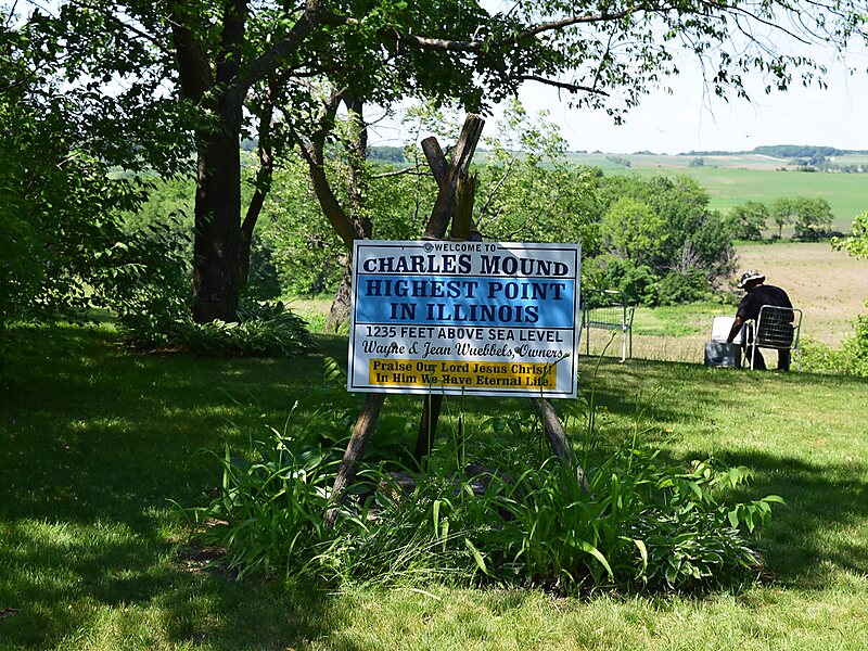
Charles Mound is a gentle, 1,235-foot high hill located in Scales Mound Township, Jo Daviess County, Illinois, United States. It is 2 miles northeast of the small town of Scales Mound, and 11 miles northeast of Galena. Despite its name, Charles Mound is a naturally occurring, erosional feature and is not to be confused with the intentional mounds created by native cultures. It is the highest natural point in the state and is thus considered a state highpoint. It is the lowest state highpoint in the Midwestern region of the United States.
Download Download See moreWikipedia https://en.wikipedia.org/wiki/Charles_Mound
Official Website https://highpointers.org/archives/195
Address 61075, United States
Coordinates 42°30'15.014" N -90°14'24.456" E