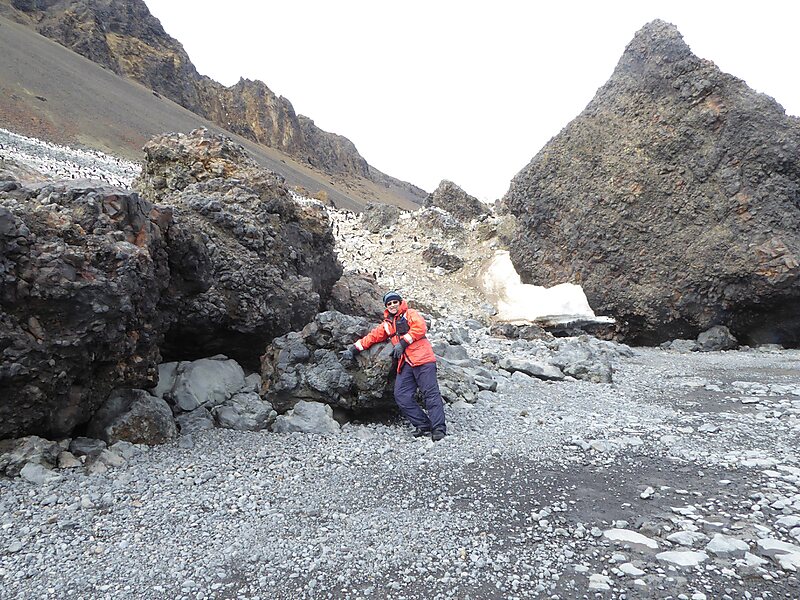
Cockburn Island is an oval island 2.7 kilometres long, consisting of a high plateau with steep slopes surmounted on the northwest side by a pyramidal peak 450 m high, lying in the north-east entrance to Admiralty Sound, south of the north-east end of the Antarctic Peninsula. It was discovered by a British expedition led by Captain James Clark Ross, who named it for Admiral Sir George Cockburn, then serving as First Naval Lord.
Download Download See moreWikipedia https://en.wikipedia.org/wiki/Cockburn_Island_(Antarctica)
Coordinates -64°12'4.6" N -56°50'25.597" E