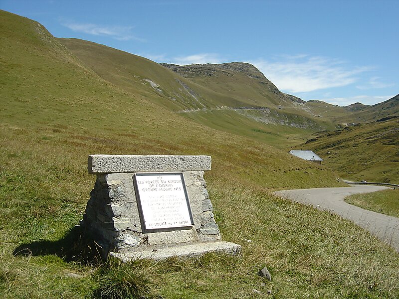
Col du Glandon is a high mountain pass in the Dauphiné Alps in Savoie, France, linking Le Bourg-d'Oisans to La Chambre. It is situated between the Belledonne, Grandes Rousses and Arvan-Villards mountain ranges, west of the Col de la Croix de Fer. The road over the Col du Glandon was opened in 1898, although it was not linked to the Col de la Croix de Fer until 1912.
The pass is normally closed from the beginning of November to mid May. It is sometimes used by the Tour de France cycle race, including on the 2013 Tour.
Wikipedia https://en.wikipedia.org/wiki/Col_du_Glandon
Address Chalets du Col, 73130, France
Coordinates 45°14'22.581" N 6°10'31.927" E