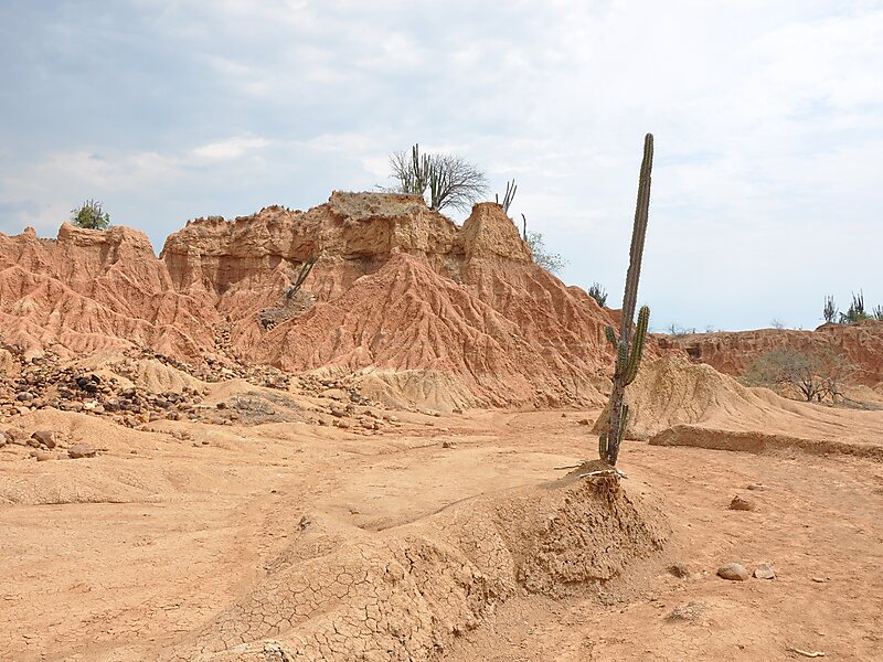
The Tatacoa Desert is the second largest arid zone in Colombia after the Guajira Peninsula. It occupies more than 330 square kilometers. This region is located north of Huila Department, 38 km from the city of Neiva in Colombia and 15 km from Natagaima in Tolima. It is renown as a rich deposit of fossils and a tourist destination. The Tatacoa Desert has two distinctive colors: ocher in the area of Cuzco and gray in the Los Hoyos area.
The Tatacoa, or the Valley of Sorrows, as it was called in 1538 by the conquistador Gonzalo Jiménez de Quesada, is not just a desert, but a tropical dry forest. The name "Tatacoa" also given by the Spanish, refers to its rattlesnakes. During the Tertiary Period, it was wetter, with thousands of flowers and trees, but has been gradually drying up to become a desert.
Wikipedia https://en.wikipedia.org/wiki/Tatacoa_Desert
Official Website http://www.tatacoacolombia.com/
Address Desierto De La Tatacoa, Colombia
Coordinates 3°14'0.046" N -75°10'8.593" E