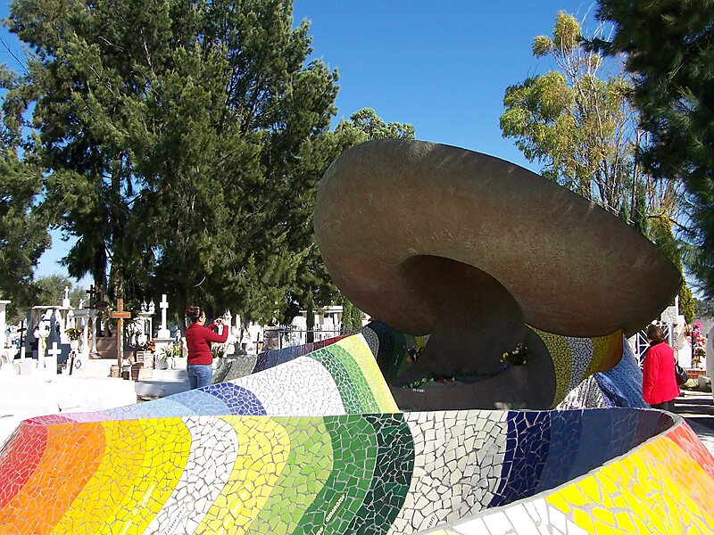
Dolores Hidalgo is the name of a city and the surrounding municipality in the north-central part of the Mexican state of Guanajuato.
It is located at 21.17°N 100.93°W / 21.17; -100.93, at an elevation of about 1,980 meters above sea level. In the census of 2005 the city had a population of 54,843, while the municipality had 134,641 inhabitants. The city lies directly in the center of the municipality, which is 1,656 km² in area and includes numerous small outlying communities, the largest of which is Río Laja with a population of 2,211.Dolores Hidalgo was named a Pueblo Mágico in 2002

Wikipedia https://en.wikipedia.org/wiki/Dolores_Hidalgo
Address 9B Calle Veracruz, Dolores Hidalgo Cuna de la Independencia Nacional 37800, Mexico
Coordinates 21°9'17.849" N -100°56'2.076" E