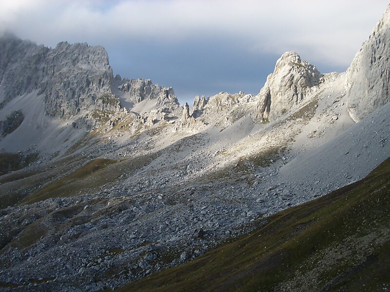
The Drusenfluh is a mountain in the Rätikon range of the Alps, located on the border between Austria and Switzerland.
According to the Swisstopo map, the mountain both includes the 2827 m Drusenfluh on the border and the three peaks named the Drei Türme, the highest of which is north of the main ridge on the Austrian site. The Drusenfluh and Drei Türme are separated by the 2637 m Eisjöchl.
After Christian Zudrell's first ascent, it took 18 years before a second ascent was successful. This second tour ended all doubts about the first ascent as the two mountaineers, Karl Blodig und Eugen Sohm, encountered a rock on the peak of the mountain, that had the signs "C Z 70" engraved, the "visiting card" that Zudrell had left on the peak. This piece of rock was brought to the Lindauer Hütte in 1995 to protect it, as weather and lightnings had destroyed it more and more.
Wikipedia https://en.wikipedia.org/wiki/Drusenfluh
Address 6774, Austria
Coordinates 47°1'44.563" N 9°48'5.982" E