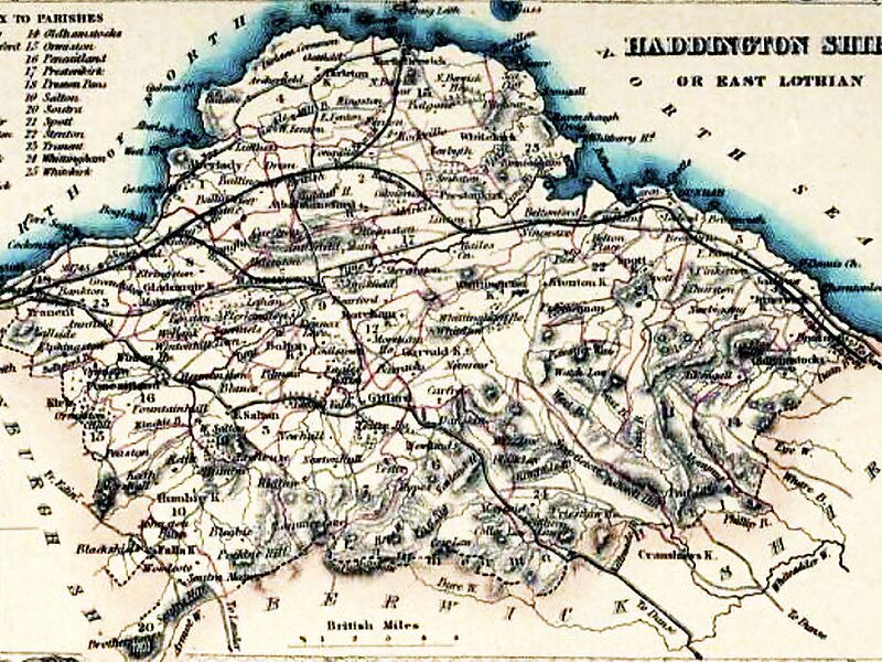
East Lothian is one of the 32 council areas of Scotland, as well as a historic county, registration county and lieutenancy area. The county was called Haddingtonshire until 1921.
In 1975, the historic county was incorporated for local government purposes into Lothian Region as East Lothian District, with some slight alterations of its boundaries. The Local Government etc. Act 1994 later created East Lothian as one of 32 modern council areas. East Lothian lies south of the Firth of Forth in the eastern central Lowlands of Scotland. It borders Edinburgh to the west, Midlothian to the south-west and the Scottish Borders to the south. Its administrative centre and former county town is Haddington while the largest town is Musselburgh.
Wikipedia https://en.wikipedia.org/wiki/East_Lothian
Official Website https://www.eastlothian.gov.uk/
Coordinates 55°57'20.212" N -2°46'45.541" E